Owly Owl napisał(a):Zainstaluj wtyczkę Google Earth, jest droga z Allendale do Dalton, z małą przerwą pośrodku, być może właśnie ze względu na to słabe zdjęcie satelitarne nie widać jej dobrze, a może i zarosła z czasem, nieużywana.
Kupiłem dziś mapę topograficzną i jest przerwa - droga zamienia się na jakiś czas na ścieżkę dla owiec.
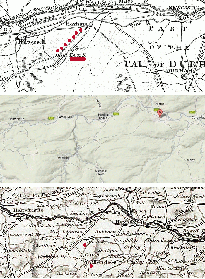
Owly Owl napisał(a):3. Old Town F(ort)? info jakie znalazłem:
Alleged Roman fort (Allendale)
In the 17th century it was claimed that Old Town was the site of a Roman fort. Although the claim was later dropped, later writers have perpetuated the story. All that remains here is a mound and ditch but it seems to be an entirely natural feature.
A mógłbyś podać link do cytatu?
Ja znalazłem to:
http://www.google.co.uk/url?sa=t&rct=j& ... 8216,d.ZG4
i taki cytat:
2.2 Roman
There is no evidence of any Roman period activity in Allendale Town. Further afield, the Old
Town at Catton (HER 7296) 3km north-west of Allendale Town (HER 7296), is reputed to bear
traces of Roman occupation although this has not been substantiated. Likewise, it has been
conjectured that some of the old lead workings in the area date from Roman times.
Poszukałem ten Catton na mapie topograficznej i tam jest Old Town dzielnica!
Czyli Catton a nie Allendale, ale to tylko 3km.
I takie coś:
http://communities.northumberland.gov.uk/Catton.htm
It is believed that there was a Roman station at Old Town within Catton township.
The station is described in Kelly's directory of 1897 as '… of a square figure, with an entrenchment, and has a portway seven yards broad, paved with stone; between three or four hundred yards from this spot are the remains of old buildings, supposed to have been occupied as the head quarters of the Roman legions …'.
Czyli jesteśmy bliżej
Wracając do naszej mapki (wklejam jeszcze raz poniżej), wygląda jakby ta górna droga to obecna B6305 i B6304, a ta dolna (Roman Way) do znalezienia tuż pod nią


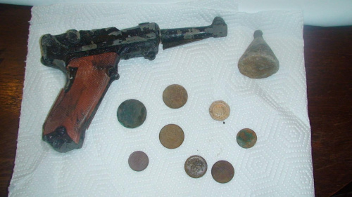
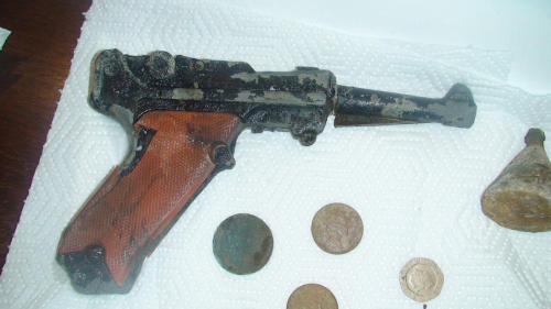
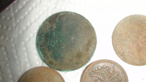
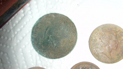
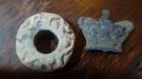
 I dzis przygrzalo wiec odbylem dluzszy marsz po kniejach w okolicy Lanchester a to wynik tej przechadzki